Atlas Surveyors Difference...
Our Story
At Atlas Surveying we strongly believe that reputation is based on the quality of the work done. That’s why we take great pride in placing our seal on each of the survey documents produced.
We believe in continious education and self development, being open to new ways and looking with a lens of inclusion therefore Atlas Surveying is a Member of the following prestigeous professional Associations
Federation of Surveyors (FIG) in
Copenhagen Denmark
International Association of Geodesy (IAG) in Espoo Finland.
The Council of European Geodetic Surveyors (CLGE) in Brussels Belgium.
Our determination to bring focus and being motivated to achieve excellence has been awarded this year with the Best start-up Entrepeneur of the Year Award 2022 and Excellence in Customer Service Award in 2023.
Our Mission
Our mission is to provide top quality Land & Construction Surveying and Quantity Surveying Services efficiently and at a competitive price, while striving to improve the social, economic, and environmental well-being of our community.
Our experienced Surveyors, engineers and consultants focus on delivering high-quality work; offering a superior level of collaboration; making it easy for our clients to do business with us; being highly responsive; and sharing our specialized expertise. We relentlessly pursue solutions today to address tomorrow’s infrastructure and environmental challenges. Solving problems and enhancing functionality—this is what excites us.
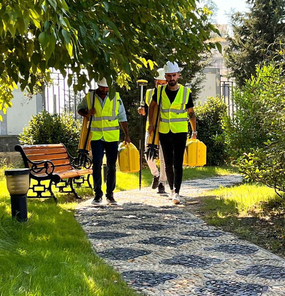
We pride ourselves on being on the cutting edge of technology in using GPS and Robotic surveying equipment and photo drones to maintain the high accuracy standards that our industry demands.
Our passion for the built and natural environment is surpassed only by our desire to make an impact—to improve, support, develop, implement and build—in order to meet societal needs.
Land Surveying & Mapping
Surveying or land surveying is the technique, profession, art, and science of determining the terrestrial two-dimensional or three-dimensional positions of points and the distances and angles between these points. Such points are often used for establishing boundaries and Maps for ownership purposes.
Surveyors work with elements of geodesy, geometry, trigonometry, regression analysis, physics, engineering, metrology, programming languages, and the law. They use equipment, such as total stations, robotic total stations, theodolites, GNSS receivers, retroreflectors, 3D scanners, LiDAR sensors, radios, inclinometer, handheld tablets, optical and digital levels, subsurface locators, drones, GIS, and surveying software.
Land surveyors play an important role in the development of land, planning and designing the subdivisions of land, and taking care of roads, utilities and landscaping to the final stages of construction. A profession that builds futures and makes dreams come true.


Quantity Surveying
Quantity surveyor is responsible for managing the contracts and costs of a construction project. His/her job description involves carrying out studies of project duration and labor costs, examining and analyzing material costs, coordinating supply deliveries, paying laborers, and giving contractors advice and suggestions on legal and contractual issues.
The quantity surveyor utilizes his/her skills, creativity, and professionalism to ensure that building projects remain within a given budget.
One of the essential duties that must be carried out by a quantity surveyor is to oversee the progress building and civil engineering projects by verifying and gathering and giving reports to clients and/or stakeholders on claimed executed work of contractors, confirming the stage of work accomplished, and checking progress payments according to the accomplished work.
Our Photos
We love to take pictures and show them to the world.